Advanced Drone & LiDAR Inspection Services

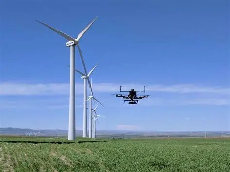
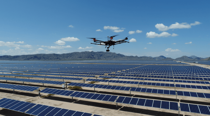
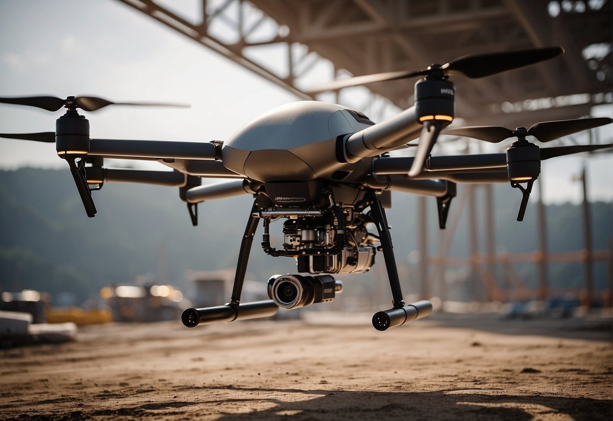
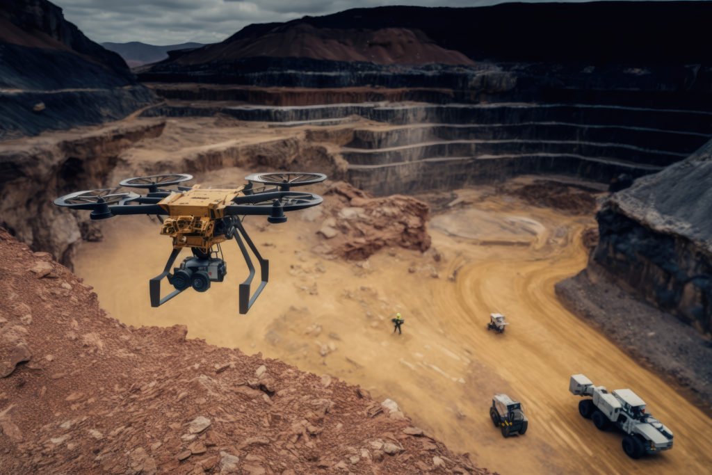
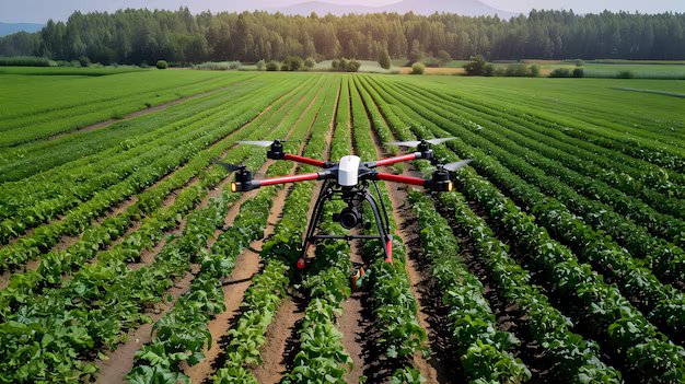
Comprehensive aerial solutions for industries ranging from energy to urban planning

Our Comprehensive Services

We offer specialized drone solutions tailored to your industry needs

Windmill Inspections

Windmill Inspections

  • Contactless structural inspections
  • 3D mapping for crack detection
  • Predictive maintenance solutions
  • All-weather capability
Get Quote
Defence & Security

Defence & Security

  • High-res terrain mapping
  • Real-time reconnaissance
  • Intrusion detection systems
  • Night operation capable
Get Quote
Solar Panel Inspections

Solar Panel Inspections

  • Thermal anomaly detection
  • Large-scale farm coverage
  • Panel-level fault identification
  • Automated reporting
Get Quote
Smart City Planning

Smart City Planning

  • 3D urban modeling
  • Utility network mapping
  • Zoning analysis
  • Disaster management support
Get Quote
Forest Management

Forest Management

  • Canopy health monitoring
  • Deforestation tracking
  • Fire risk assessment
  • Carbon stock estimation
Get Quote
ONGC Inspections

ONGC Inspections

  • Pipeline corrosion detection
  • Offshore facility monitoring
  • 3D structural analysis
  • Regulatory compliance
Get Quote
Infrastructure Surveys

Infrastructure Surveys

  • Bridge/road condition analysis
  • Powerline inspections
  • Progress documentation
  • GIS integration
Get Quote
Mining & Port Operations

Mining & Port Operations

  • Stockpile volume calculation
  • Slope stability monitoring
  • Port infrastructure mapping
  • Environmental compliance
Get Quote
Land Records

Land Records

  • Precise boundary mapping
  • Dispute resolution support
  • Digital record creation
  • Village/city surveys
Get Quote
Agriculture

Agriculture

  • Precision topography
  • Irrigation planning
  • Crop health monitoring
  • Yield optimization
Get Quote
Air Transport

Air Transport

  • Runway/taxiway mapping
  • Obstacle detection
  • Terrain modeling
  • DGCA compliance
Get Quote
Railway Planning

Railway Planning

  • Route alignment mapping
  • Tunnel/bridge surveys
  • Terrain analysis
  • Safety compliance
Get Quote

Windmill Inspections with LiDAR & Drone System

Service Highlights

Safe, Contactless Inspections – No need for manual climbing
High-Precision 3D Mapping – Detects cracks, erosion & structural issues
Rapid Data Collection – Inspects turbines in minutes
Predictive Maintenance – Prevent failures before they happen
All-Weather Capability – Works in low light & tough conditions
Cost-Effective & Scalable – Ideal for large wind farms

Defence & Security Surveys with Drone LiDAR

Service Highlights

High-Resolution Terrain Mapping – Ideal for border surveillance & base planning
Real-Time Reconnaissance – Fast intelligence gathering in hostile zones
Obstacle & Intrusion Detection – Detects movement, changes & threats
Night & Low-Visibility Operation – Effective in all lighting conditions
Risk-Free Surveillance – Keeps personnel out of danger zones
Supports Mission Planning – 3D models for tactical operations & logistics

Solar Panel Inspections with Drone LiDAR

Service Highlights

Thermal & Visual Scanning – Detects hotspots, cracks, and faulty panels
Fast & Large-Scale Coverage – Inspects entire solar farms quickly
Maximizes Energy Efficiency – Identifies underperforming units for timely fixes
Non-Contact & Safe Inspection – No risk of damaging panels during survey
High-Resolution Imaging – Pinpoints issues at the panel level
Automated Reports – Data-driven insights for maintenance planning

Ready to Transform Your Operations with Drone Technology?

Contact us today to discuss how Aerosparke's drone solutions can benefit your specific industry needs.

Get a Free Consultation